Navigation and cockpit setup: the essentials for cross-country
When planning a paragliding route, information management is as critical as pure flying skill. A good navigation instrument must never become a source of stress or an obstacle to reading your surroundings. The goal remains straightforward: stay pragmatic, progressive, and grounded in preparation and flight.
Readability comes first
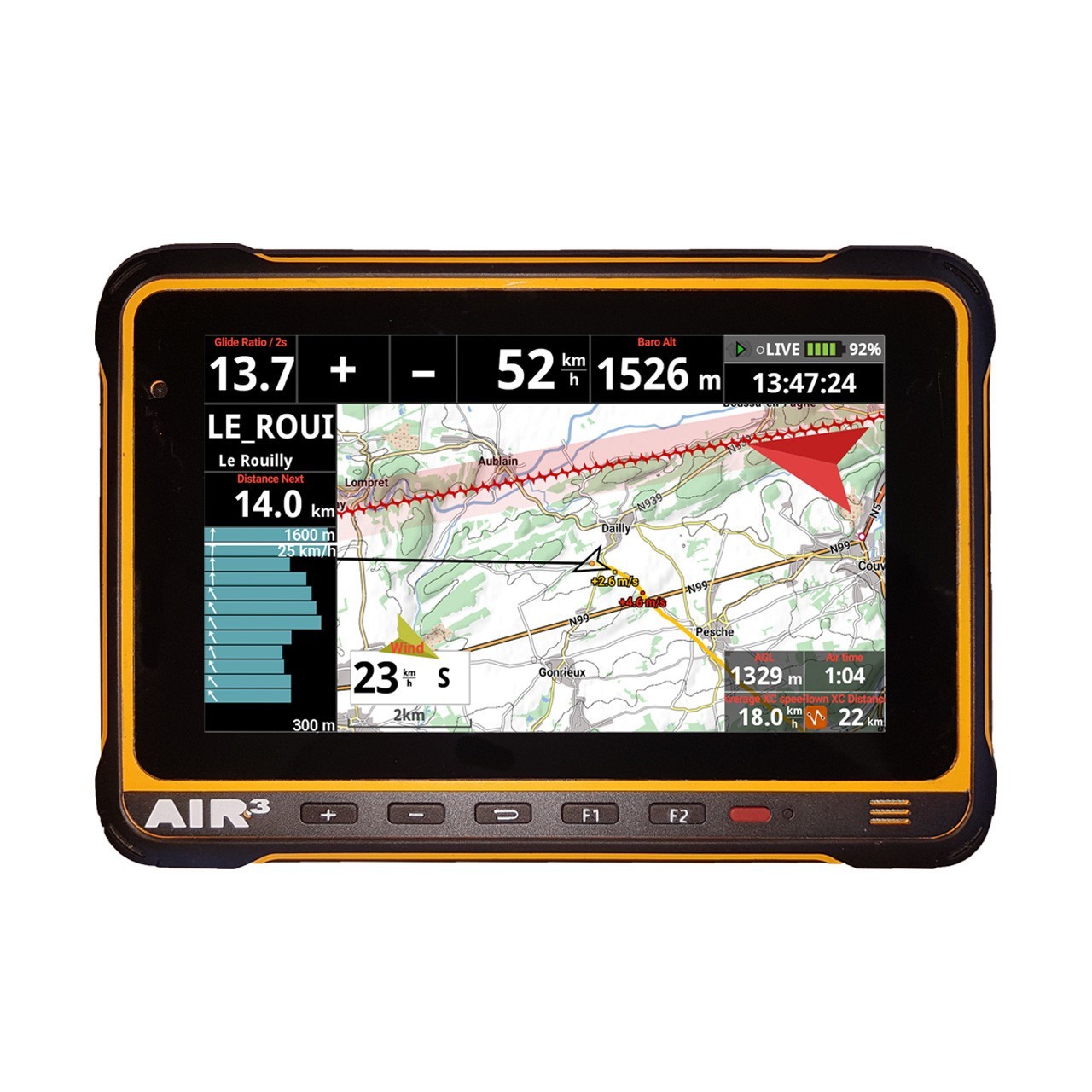
In the field, readability is paramount. Whether you choose a touchscreen display, tablet, or dedicated navigation unit, the screen must remain clear under direct sunlight and accessible with gloved hands. Overloading your display at once clutters your mind. Opt for a clean interface that highlights the active route, waypoints, and average required altitude. Everything else waits until you land.
Cockpit management and vigilance
Your instrument setup directly affects your posture and focus. Mount displays at a height that allows quick glances without breaking your line of sight toward the horizon. Check mountings, sunshades, and battery life before every launch. Weather, gear condition, technical level, and fatigue are parameters to verify beforehand. Never let technology replace direct observation of the sky and local conditions.
- Select only essential data for your current flight.
- Test settings and backups away from active flying zones.
- Maintain a simple, known evacuation plan with your spotter or pilot.
To refine your setup and secure your configuration, personalized guidance ensures equipment matches your flying habits and recurring local conditions. Safety margins are not improvised.
Practical summary
A cross-country instrument is a decision-support tool, not an autopilot. Stay focused on terrain reading and thermal variations. Systematically check your flight plan, battery endurance, and emergency positions before leaving the launch. Progress is built on controlled repetition and honest management of your limits.
Fly safe,
Cyrille MARCK and the Rid'Air/CEM team